Development history of landscape thought (IV)
2018-06-11
Thomas Jefferson (1743-1826) was the third president of the United States of America (1801-1809). He was also the main drafter of the American Declaration of independence and one of the founding fathers of the United States. He was known as the three founding heroes of the United States together with Washington and Benjamin Franklin. In addition to his political career, Jefferson was also an expert in agriculture, horticulture, architecture, etymology, archaeology, mathematics, cryptography, surveying and paleontology; He is also a writer, lawyer and violinist; He is also the founder of the University of Virginia. Many people believe that he is the most intelligent president of the United States.

During Jefferson‘s tenure, he sent people to France to negotiate with a view to buying New Orleans and West Florida. At that time, Napoleon was fighting with Britain and in urgent need of war funds, so he agreed to sell a large area of land from the Mississippi River to the Rocky Mountains. After bargaining, the real estate transaction was finally concluded at the price of 3 cents an acre, which is known as the "Louisiana Purchase event". The sale doubled the territory of the United States.

In order to encourage the people to settle in the Midwest, he needed a simple way to establish the boundary of the land owned by the settlers. He used the square grid geodetic method to expand with the expansion of the territory to the West. Such a landscape can now be seen by anyone flying. Jefferson made a unique contribution to the formation of the American landscape.

Geodesic landscape refers to the overall characteristics of the terrain in a geographical area and all natural and artificial scenery on the ground, including rocks, soil, vegetation, animals, water bodies, artificial structures and relics of human activities, as well as the climatic characteristics.

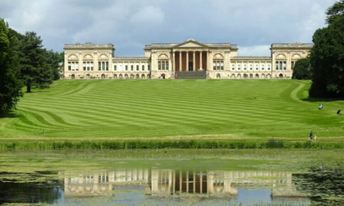
Note: the picture comes from the Internet
-
_副本.jpg)
Development history of landscape thought (I)
More than 1000 years ago, the West Lake was originally planned for defense, water supply and agric..
2017-11-17 Read Acticles > -
Development history of landscape thought (II)
In the 16th century, the Medici family was the most powerful family in Italy. They owned houses no..
2017-12-13 Read Acticles > -

Development history of landscape thought (III)
Is landscape design a process of creating artificial landscape or a process of managing nature? As..
2018-01-22 Read Acticles > -
Development history of landscape thought (IV)
Thomas Jefferson (1743-1826) was the third president of the United States of America (1801-1809). ..
2018-06-11 Read Acticles >